The One-View Village: Why a Single Landmark Cannot Explain a Place
A one-view village can make a memorable photograph, but looking beyond its landmark reveals the working lanes, services and public routes that shape a visit.
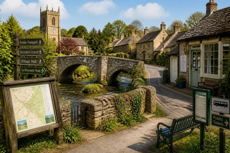
The common mistake with a one-view village is to photograph its church tower, bridge or stone cross and treat the picture as a portrait; the cost is leaving with a striking image but little sense of how to find your way around. A one-view village is easy to recognise, yet the route between its landmark and the next useful place can matter more to a visitor.
Start with the practical question: where can you walk, stop, get a bearing or find a public service? The landmark can help you orient yourself, but a village visit becomes easier when you connect it to signs, paths and places open to visitors.
Use the landmark to plan a useful route
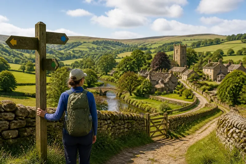
A church tower or bridge can be a clear point of reference, especially where lanes bend between stone walls. From a public spot, check for a footpath sign, a fingerpost, a map board or a street name that helps you decide where to go next.
Do not assume that a gap between buildings is a public passage. Follow marked routes, use public pavements and keep to the road where there is no footway, taking care around traffic. If the route is unclear, a local map or a question at an open village shop may be more useful than guessing.
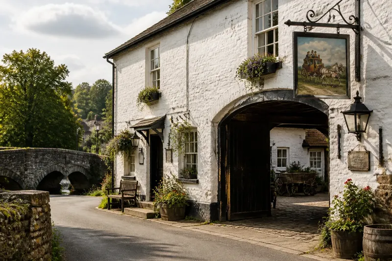
Imagine arriving at a village where a humpback bridge is the familiar sight. You begin at the public car park, check the map board, then follow the signed path towards the recreation ground; the result is a straightforward walk with a clear return route, rather than an uncertain detour through private lanes.
Check what is open before relying on it
A shop, café, public toilet or bus stop can change the shape of a visit, but opening hours and services vary. Read the notice on the door, check a current timetable where one is displayed, and have another option in mind if the place is shut or the service is not running.
A village hall noticeboard may list events or local services, while a bus shelter can show route information. Treat each sign as practical guidance, not a promise that every listed facility will be available when you arrive.
For a simple visit plan, check these points and choose an alternative when needed:
- Notice: the public car park is marked on the map; if it is open, use it, and if not, continue to a signed public parking area rather than blocking a gateway.
- Notice: a footpath sign points towards your intended destination; if the path is marked and accessible, follow it, and if the way is closed or unclear, return to the public road or choose another signed route.
- Notice: the shop door displays current opening information; if it is open, ask about visitor essentials, and if it is closed, rely on supplies you brought or another confirmed public service.
- Notice: a bus timetable lists a service for your return; if the time suits your plan, use the bus, and if it does not, revise the walk or arrange another lawful way back.
- Notice: a public toilet sign points to an open facility; if it is available, use it, and if it is locked, ask at an appropriate open venue or plan for a different stop.
- Notice: a bench or public seating area is accessible without blocking a path; if it is free, pause there, and if it is occupied or obstructive, keep walking to another public resting place.
Keep private homes out of the visitor route
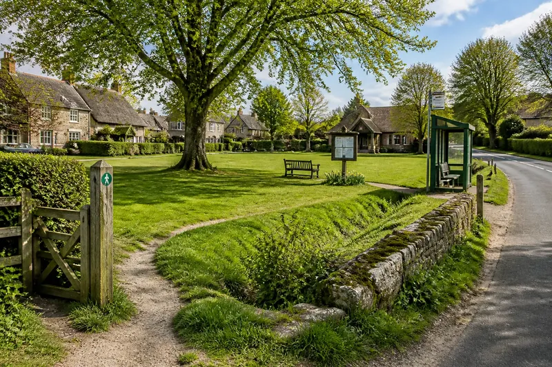
Village lanes often pass close to front doors and gardens. Admire building materials or planting from the public way, but do not enter a drive, peer through a window or photograph a private space as if it were a public attraction.
Shared places are easier to visit respectfully: a signed footpath, public green, village hall entrance or recreation ground. If a route appears to cross private land, look for a public alternative instead of treating a gate or opening as an invitation.
What should you check before moving on?
How can I tell whether a village path is public?
Look for a public footpath sign, waymark or route shown on a reliable map, and follow any local notices about closures. If you cannot establish that the way is public, do not take it; choose a signed route or ask at a suitable local venue.
What should I do if the shop or café is closed?
Use any clearly displayed opening information to judge whether it may reopen, but do not plan around an unconfirmed service. If it is shut, use supplies you brought or adjust your visit around another service you have verified.
How do I plan a return from a village walk?
Before setting out, identify the route back and check any public transport information you intend to use. If the timetable or path does not suit your return, shorten the walk or select a route that brings you back to your starting point.
Can I photograph houses near the landmark?
Keep the frame on public streets and shared features, and avoid including people, windows or private gardens as the subject. If someone is clearly identifiable, ask before making them central to the photograph and respect their answer.
Leave time for one useful pause
It is not worth the effort to search for a supposedly hidden “authentic” corner or photograph every old sign and weathered wall. A map board, a marked route or a current bus notice is more useful if it changes how you spend the visit.
Before leaving the landmark, note the next public place you can reach and how you will return. That small check makes a one-view village easier to explore without turning an uncertain lane into an unnecessary detour.