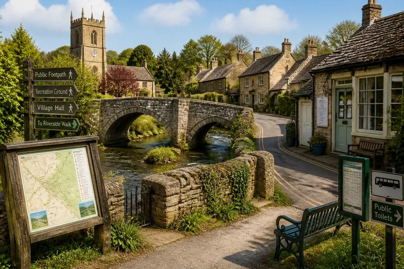
Why the Village Green Sits Where It Does
Why the village green sits where it does becomes clearer when you read its shape, boundaries and surrounding uses, without turning a quiet visit into guesswork.
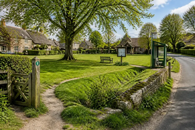
The common mistake is to expect a village green to be a planned square, then treat its uneven shape as an accident. That overlooks the decisions and practical needs that left this particular patch open: grazing, shared access, a boundary that resisted building, or later public use. Why the village green sits where it does is often a story of several pressures meeting, not one grand design.
Its outline can preserve a practical compromise
Some greens are broad and open; others narrow between houses or taper beside a road. Their outlines may reflect land that was hard to divide, a space retained for common use, or a gap left as buildings accumulated. A stream, slope or old field division might have influenced the shape, but appearance alone cannot establish which explanation applies.
Look for changes along the perimeter: a hedge that continues beyond the grass, a shallow ditch, a wall that takes an unexpected turn, or a row of trees following an edge. Treat these as clues rather than proof. If a local heritage panel or parish history gives a documented explanation, compare it with what is visible instead of filling gaps with a confident tale.
Local use can explain why the open ground endured
A green could be useful for more than one purpose over time. Shared grazing, village gatherings, children’s play and a pause beside a public route all depend on open ground, though the balance between those uses changes from place to place. A noticeboard, worn entrance or maintained lawn may hint at present-day activity; it does not tell you the whole history.
Buildings along the boundary can help explain what the green serves now. A village hall may bring people to one side, while a bench or bus shelter makes another edge a stopping place. These features are worth noticing, but they need not have been the reason the green first existed.
Small physical clues are more reliable than a picturesque story
Check how the ground meets its surroundings. A change from grass to gravel may mark an entrance, while a gate, stile or sign can clarify where public access is intended. A dip could be related to drainage, but do not assign it a historical purpose without supporting evidence.
Take care with tracks across the grass. A worn line may be a regular crossing, a route used in wet weather, or simply the result of repeated informal passage. If there is no clear sign that it is public, stay on the pavement or marked path and consult an appropriate local map before following it.
It is not worth trying to give every tree, bench or bend a symbolic meaning. A few plainly observed details, kept separate from what you cannot confirm, make a better account of the place.
What can the shape and features tell you?
Does an irregular green mean it is old?
An uneven outline can be consistent with gradual change, but it does not date the green by itself. Look for a reliable local history or historic map before assigning it an age or origin.
Can I walk across the grass?
Follow posted signs and established public access, and avoid crossing fenced, planted or clearly restricted areas. If the status of a track is unclear, use a public path or ask the local council or parish authority for guidance.
What does a ditch or hedge along one side mean?
It may mark a boundary or serve a practical purpose such as managing water, but the feature alone cannot settle its history. Compare it with maps or local interpretation, and describe it simply if its purpose remains uncertain.
Why might a green sit away from the church or village hall?
The open space may have formed before those buildings, or its location may reflect land use and access rather than a central plan. A village can also have several centres for different activities, so distance alone does not make the green less significant.
A careful visit can separate observation from interpretation
Say you arrive at a village green with an uneven grassy edge, a hedge, a shallow ditch and a signed footpath at one corner. First, you note those features without naming their age or purpose. Next, you check the sign and a local map, which show the marked path continuing to a nearby lane but offer no history of the ditch. Your grounded account is that the hedge and ditch shape one boundary, while the public path links the green to the lane; the ditch’s origin remains uncertain.
For a useful visit, make a short record of what you can actually see and how it relates to public access or present-day use. Then check a parish history, heritage panel or historic map only where a question matters. Why the village green sits where it does may remain partly unanswered, but separating evidence from possibility lets you leave with a clearer, fairer understanding of its place in the village.